Traditional vs Modern
Surveying is a fundamental aspect of many industries, providing crucial data for planning, design, and construction projects. Traditionally, surveying relied on manual methods that were time-consuming, labour-intensive, and sometimes dangerous. However, with the emergence of drone technology, a revolution has taken place, transforming the field of surveying. This blog explores the traditional methods of surveying and highlights how drones have revolutionised the industry. We will delve into the key benefits of using drones for surveying, including increased efficiency, improved safety, and enhanced data accuracy.
Traditional Methods of Surveying: For decades, surveying involved manual methods such as ground-based measurements, the use of total stations, and aerial surveys conducted by manned aircraft. These methods required significant time and effort, and often posed safety risks, especially for surveys in challenging or hazardous terrains. Additionally, the data collection process was limited in terms of coverage and accuracy.
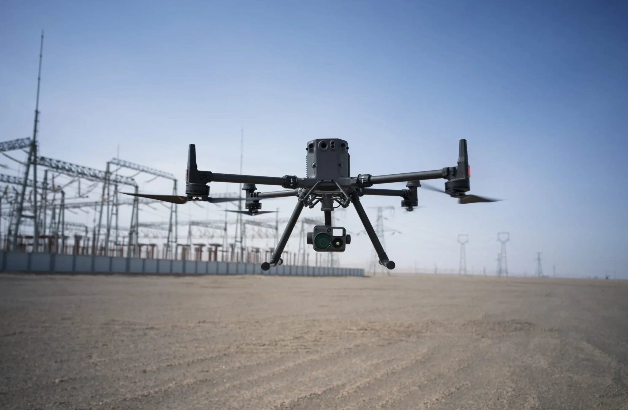
The Drone Revolution: The advent of drones has brought about a remarkable transformation in the field of surveying. Over the recent years, drone technology has advanced significantly, revolutionising the surveying industry. Drones have become more stable, manoeuvrable, and easier to operate. Integration of high-resolution cameras, thermal imaging, LiDAR, and other sensors has expanded their data capture capabilities, drones have revolutionised the way data is collected, processed, and analysed.

Increased Efficiency: Drones offer significant improvements in surveying efficiency. They can cover large areas in a fraction of the time required by traditional methods. With automated flight plans and precise navigation systems, drones can efficiently capture data, providing quick and accurate results. Surveyors can now accomplish in hours what used to take days or even weeks.
Improved Safety: Drone surveying offers enhanced safety compared to traditional methods. Surveyors no longer need to physically access hazardous or inaccessible locations, reducing the risk of accidents and injuries. Drones can remotely survey these areas, eliminating the need for human presence. Recent advancements in drone safety features, such as 360-degree collision avoidance systems, have significantly improved safety standards. These systems utilise sensors and intelligent algorithms to detect and avoid obstacles from all directions. Drones continuously scan their surroundings and autonomously adjust their flight path in real-time, minimising the risk of accidents. These safety advancements have increased the reliability and acceptance of drones as valuable tools in the surveying industry and other sectors where safety is crucial.
Enhanced Data Accuracy: Drones offer unparalleled data accuracy in surveying. Equipped with high-resolution cameras, they capture detailed imagery and collect precise elevation data. This level of accuracy allows for more reliable mapping, contouring, and 3D modelling. The resulting data is rich in detail, enabling precise measurements and comprehensive analysis.
Versatility and Flexibility: Drones bring versatility and flexibility to surveying operations. They can capture data from various angles and altitudes, allowing for comprehensive coverage of the survey area. Drones can easily adapt to different terrains and surveying needs, making them suitable for a wide range of applications, including construction, infrastructure development, agriculture, environmental monitoring, and more.
 Cost-Effectiveness: Drone surveying offers cost-effective solutions compared to traditional methods. The reduced time and resources required for data collection and analysis lead to significant cost savings. Drones eliminate the need for expensive aerial surveys conducted by manned aircraft or the deployment of ground-based surveying teams, resulting in more efficient use of resources.
The Rundown:
The use of drones has revolutionised the field of surveying, bringing increased efficiency, improved safety, and enhanced data accuracy. These technological advancements have transformed the way data is collected, analysed, and utilised for various industries. The adoption of drone surveying has led to significant time and cost savings, while delivering more accurate and detailed data. As drone technology continues to evolve, we can expect further innovations that will reshape the surveying industry, making it more accessible, efficient, and precise than ever before.
Contact Nationwide Drones today to discuss further and explore how our expertise in drone services could benefit you. Please feel free to reach out at your convenience.
Our Blog
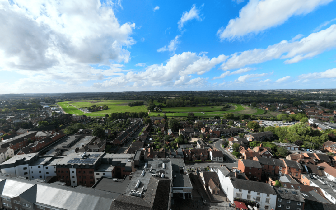
Understanding Operations Safety Case (OSC)
Understanding the Drone Operations Safety Case (OSC) and Standard Permissions Under PDRA01As drone technology rapidly evolves, businesses are...

Unleashing Speed and Efficiency through Cloud Processing
Cloud Processing In today’s digital age, the volume of data generated by various industries is growing exponentially, and the field of surveying is...
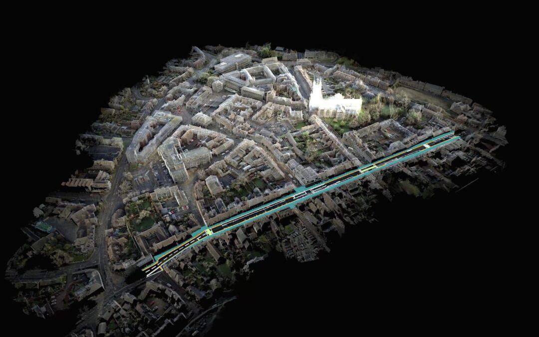
Point Clouds 101: Understanding the Digital 3D World
Point Clouds Explained Welcome to the fascinating world of Point Clouds! In this blog post, we will take you on a journey through the basics of...
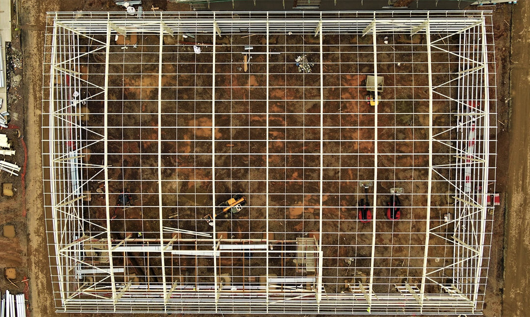
Safe Access Construction Quality Inspections
A staple on almost any construction site, is the mobile elevating work platform (MEWP), commonly referred to as a ‘cherry picker’. Often multiple...

Dawn of the digital surveyor – site visits from home
With the Government travel restrictions remaining in place for the foreseeable future, both domestic and international, site visits have become a...
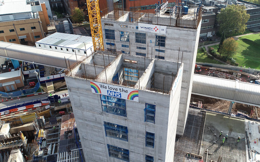
Drones keep construction on track during lockdown
With the nation in another lockdown but construction allowed to continue, it poses a dilemma for many developers, contractors and consultants who...

 Owen Jenkins
 Danny Mckeown