Local clients we work with
Public-sector and housing-association coverage.
Around Norwich, our project pipeline regularly takes us across local authority and housing-association estates. We deliver scaffold-free roof inspections, retrofit thermography, condition surveys and BREEAM-grade thermal capture for organisations including:
Local authorities
- ✓Norwich City Council
- ✓Broadland District
- ✓South Norfolk
- ✓Norfolk CC
Housing associations & estates
- ✓Saffron Housing Trust
- ✓Broadland Housing
- ✓Flagship Housing Group
- ✓Cross Keys Homes
Organisation names are common sector-active examples in the region. Specific client engagements are confirmed under NDA on request.
Common questions
Drone surveys in this area
Can you fly drones near Norwich's controlled airspace?
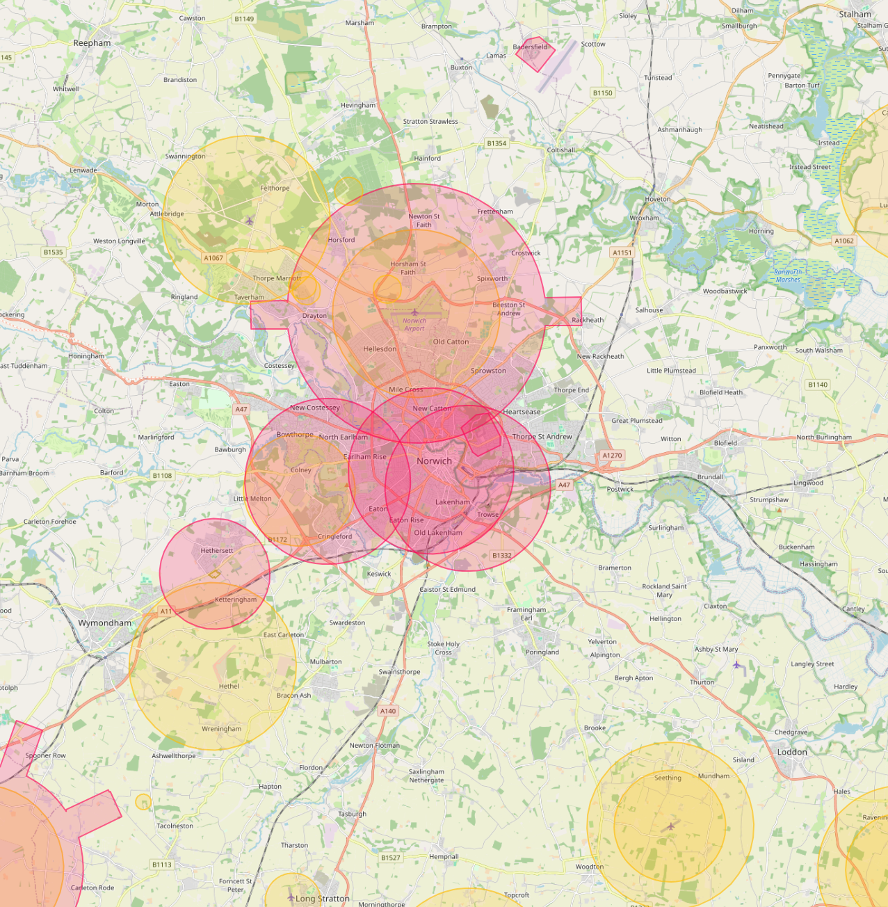
Yes. We operate routinely under Norwich Airport CTR. Our enhanced CAA permissions and notification procedures let us fly safely in and around controlled airspace where standard operators are restricted, including airport approach paths and Flight Restriction Zones.
Do you cover Norwich central areas like City Centre and Tombland?
Yes. We routinely fly across Norwich including City Centre, Tombland and Norwich Research Park. Dense built-up areas, occupied commercial premises and live retail sites are all within scope under our enhanced CAA approval.
Can you fly drones near Norwich Cathedral or other Norwich landmarks?
Yes, where permitted. Iconic sites like Norwich Cathedral sit within or near restricted areas, but we work with the landowner, the relevant authority and the CAA where needed to secure the right permissions. We have a strong track record of getting "no" sites to "yes".
What does a typical drone survey deliverable look like in Norwich?
You receive the captured imagery, measured outputs, and an interactive AIM Platform link for your team. Norwich jobs are deliverable in the same browser-based viewer used for projects across the UK, no software install, no per-seat licences.
Do you provide thermal drone surveys in Norwich?
Yes. Thermal surveys are flown across Norwich for housing portfolios, BREEAM certification work, commercial roof condition checks and solar array inspections. Best results are achieved between October and March.
How quickly can you mobilise to Norwich?
Our pilots cover Norwich routinely as part of UK-wide commercial operations. Standard mobilisation is 5 to 10 working days from the booking. For urgent work we can usually deploy within 48 hours.