Local clients we work with
Public-sector and housing-association coverage.
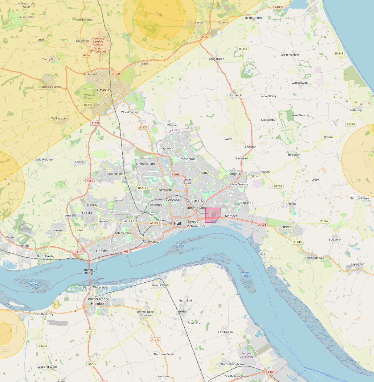
Around Hull, our project pipeline regularly takes us across local authority and housing-association estates. We deliver scaffold-free roof inspections, retrofit thermography, condition surveys and BREEAM-grade thermal capture for organisations including:
Local authorities
- ✓Hull City Council
- ✓East Riding of Yorkshire Council
Housing associations & estates
- ✓Riverside
- ✓Ongo Homes
- ✓Karbon Homes
- ✓Yorkshire Housing
Organisation names are common sector-active examples in the region. Specific client engagements are confirmed under NDA on request.
Common questions
Drone surveys in this area
Can you fly drones near Hull's controlled airspace?
Yes. We operate routinely under Humberside Airport CTR. Our enhanced CAA permissions and notification procedures let us fly safely in and around controlled airspace where standard operators are restricted, including airport approach paths and Flight Restriction Zones.
Do you cover Hull central areas like Old Town and Marina?
Yes. We routinely fly across Hull including Old Town, Marina and Hull Docks. Dense built-up areas, occupied commercial premises and live retail sites are all within scope under our enhanced CAA approval.
Can you fly drones near The Deep aquarium or other Hull landmarks?
Yes, where permitted. Iconic sites like The Deep aquarium sit within or near restricted areas, but we work with the landowner, the relevant authority and the CAA where needed to secure the right permissions. We have a strong track record of getting "no" sites to "yes".
What does a typical drone survey deliverable look like in Hull?
You receive the captured imagery, measured outputs, and an interactive AIM Platform link for your team. Hull jobs are deliverable in the same browser-based viewer used for projects across the UK, no software install, no per-seat licences.
Do you survey housing portfolios across Hull?
Yes. Multi-property thermal and roof surveys for housing associations and social landlords in Hull are a routine workload. Reports are produced consistently across the entire portfolio in a single AIM Platform deliverable.
How quickly can you mobilise to Hull?
Our pilots cover Hull routinely as part of UK-wide commercial operations. Standard mobilisation is 5 to 10 working days from the booking. For urgent work we can usually deploy within 48 hours.