Drone surveys, Edinburgh

Drone surveys across Edinburgh.

Commercial drone capture for Edinburgh / Scotland. CAA enhanced permissions, surveyor-led delivery, every project hosted on AIM Platform. From Edinburgh city-centre roof inspections to estate-wide thermal surveys.

Local airspace

Edinburgh airspace, live.

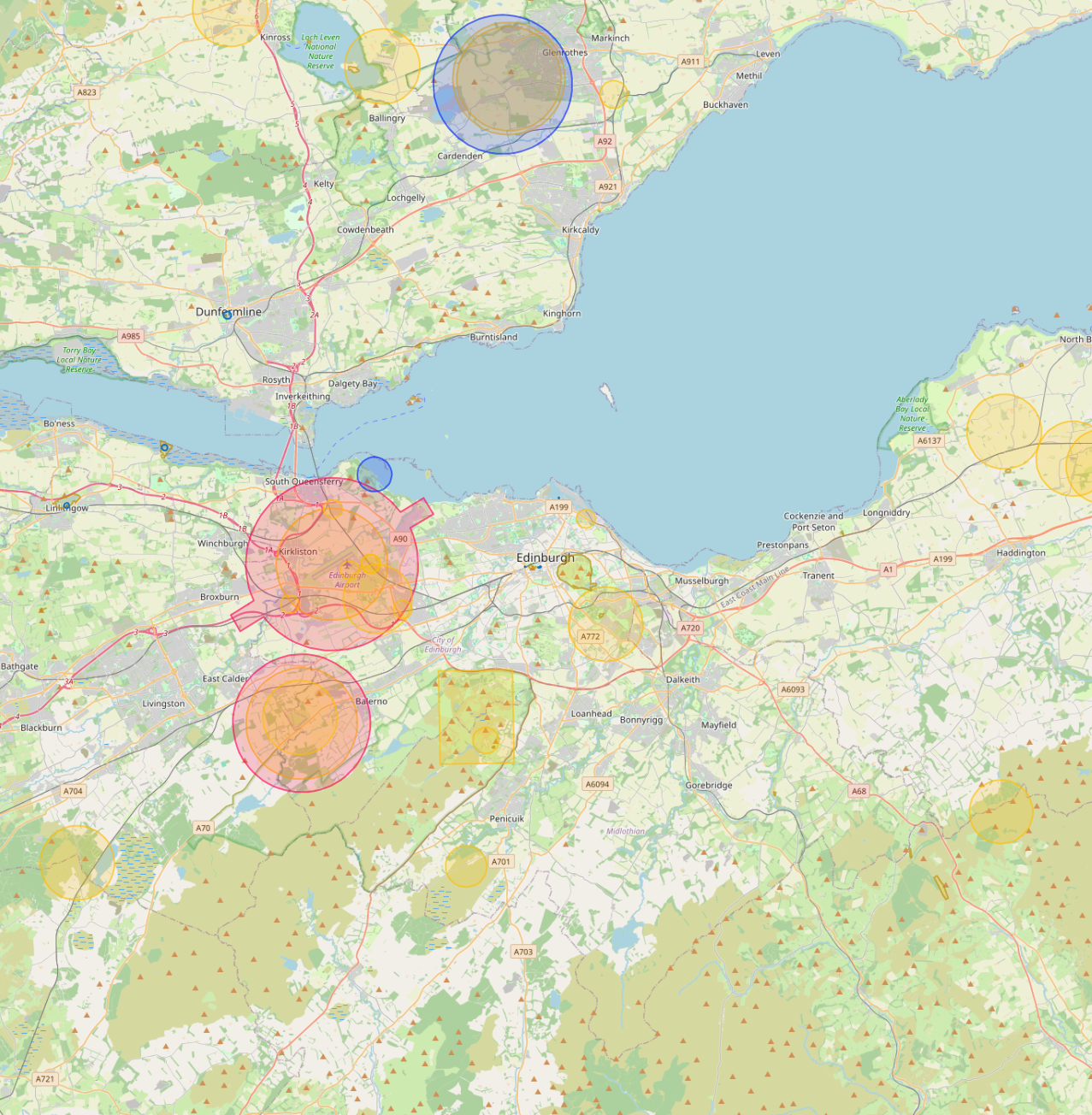
Edinburgh Airport CTR covers the west of the city. The Old Town and New Town are both UNESCO World Heritage sites, requiring additional Historic Environment Scotland notifications for any survey work on listed structures.

Live flight restrictions and airspace zones around Edinburgh
Live flight restriction data · Drone Safety Map View live airspace restrictions →
EDI CTR UNESCO heritage Historic Environment Scotland Police Scotland

Live airspace data from Altitude Angel via Drone Safety Map. Pan and zoom to explore restrictions around your site.

Where Edinburgh clients send us

Common Edinburgh project types.

Heritage estates, listed property, university estates, financial services, hospitality estates, public-sector housing.

Why Edinburgh firms use us

Permissions that match the airspace.

Edinburgh's heritage estate is where survey-grade capture pays back fastest. We pair drone inspection with laser scanning for full measured surveys of listed stone facades, hosted on AIM Projects so the conservation architect, structural engineer and contractor all work from one model.

Services in Edinburgh

What we capture across the Edinburgh area.

Local clients we work with

Public-sector and housing-association coverage.

Around Edinburgh, our project pipeline regularly takes us across local authority and housing-association estates. We deliver scaffold-free roof inspections, retrofit thermography, condition surveys and BREEAM-grade thermal capture for organisations including:

Local authorities

  • City of Edinburgh Council
  • Midlothian Council
  • East Lothian Council
  • West Lothian Council

Housing associations & estates

  • Port of Leith HA
  • Castle Rock Edinvar
  • Dunedin Canmore
  • Hillcrest Homes
  • Places for People Scotland

Organisation names are common sector-active examples in the region. Specific client engagements are confirmed under NDA on request.

Permissions matter

Approved for business locations, airports, FRZs and restricted areas.

Most of the sites we're asked to fly, live commercial premises, near airports, inside Flight Restriction Zones, around Network Rail corridors, military air bases and Royal estates, require enhanced CAA permissions, prior notification, and an operator with the track record to coordinate with the relevant authority. We hold and operate under those permissions every day. If you've been told "no" elsewhere, our route to flying it is almost certainly already in place.

Powered by AIM

Edinburgh captures, on AIM Platform.

Every Edinburgh project we capture is hosted on AIM Platform, the asset-information software used by surveyors, councils and contractors across the UK. Browser-streamable. Measurable in place. Shareable with one link.

Recognised by
See AIM Platform → Watch a demo

Quote a drone survey in Edinburgh.

Tell us the site, the deliverable, and any access constraints. Most quotes turn around within 24 hours.

Request a quote → See all locations
Request a quote Call us