Local clients we work with
Public-sector and housing-association coverage.
Around Bristol, our project pipeline regularly takes us across local authority and housing-association estates. We deliver scaffold-free roof inspections, retrofit thermography, condition surveys and BREEAM-grade thermal capture for organisations including:
Local authorities
- ✓Bristol City Council
- ✓South Gloucestershire Council
- ✓North Somerset Council
- ✓Bath & NE Somerset
Housing associations & estates
- ✓Bristol Housing Co-operative
- ✓Brunelcare
- ✓LiveWest
- ✓Bromford
- ✓Curo
Organisation names are common sector-active examples in the region. Specific client engagements are confirmed under NDA on request.
Common questions
Drone surveys in this area
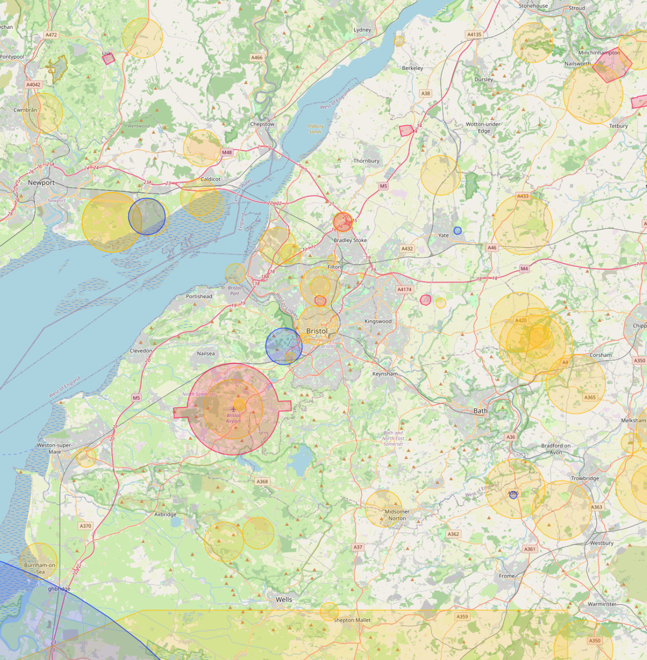
Can you fly drones near Bristol's controlled airspace?
Yes. We operate routinely under Bristol Airport CTR. Our enhanced CAA permissions and notification procedures let us fly safely in and around controlled airspace where standard operators are restricted, including airport approach paths and Flight Restriction Zones.
Do you cover Bristol central areas like Harbourside and Clifton?
Yes. We routinely fly across Bristol including Harbourside, Clifton and Temple Quarter. Dense built-up areas, occupied commercial premises and live retail sites are all within scope under our enhanced CAA approval.
Can you fly drones near Clifton Suspension Bridge or other Bristol landmarks?
Yes, where permitted. Iconic sites like Clifton Suspension Bridge sit within or near restricted areas, but we work with the landowner, the relevant authority and the CAA where needed to secure the right permissions. We have a strong track record of getting "no" sites to "yes".
How much does a drone survey in Bristol cost?
Most commercial drone surveys in Bristol range from £450 to £2,500 depending on site size, sensor type and turnaround. We quote firm within 24 hours of the brief, with no callout fees and no day-rate top-ups.
Can you fly drones during Bristol working hours without disturbing the site?
Yes. Our enhanced CAA permissions let us operate at 10m from people and property while sites are live and occupied, so Bristol commercial buildings can stay operational throughout the survey.
Can you do construction progress monitoring on Bristol sites?
Yes. Monthly aerial sets, volumetric reports and orthomosaics for active Bristol construction sites are a core service. Each visit produces a side-by-side comparison against previous visits, hosted on AIM Platform.