The Challenge
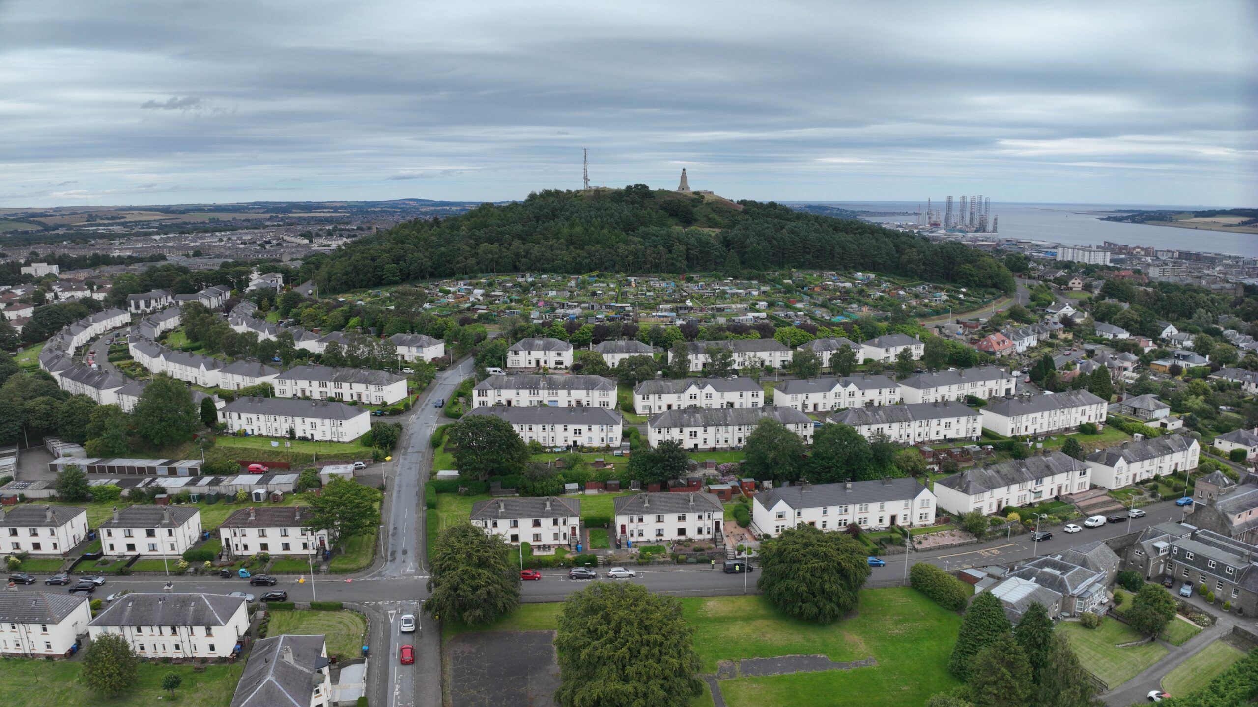
Providing Comprehensive Roofing Insights across 129 buildings in Dundee, Scotland
Our client’s imperative was clear: they needed an accurate and current assessment of numerous roofs spanning low-rise blocks of flats throughout Dundee, Scotland. Both visual and precise dimensional data were pivotal, forming a crucial component of their roofing program.
Nationwide Drones Response
- Initiating our standard protocol for drone surveys, we immediately delved into meticulous pre-flight planning. This revealed that many of the properties lay within flight restriction zones. Following communication with Dundee Air Traffic Control and outlining our flight operations, we secured permission for the planned flights.
- Leveraging desktop planning tools, we meticulously charted out flight missions, enhancing operational efficiency.
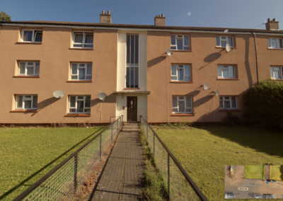
- Systematically, we captured high-resolution visual data, meticulously referencing each capture to its precise location and orientation
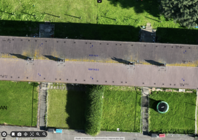
- Complementing visual data, we crafted detailed site maps, furnishing our client with the most current site perspectives and facilitating precise measurements.
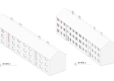
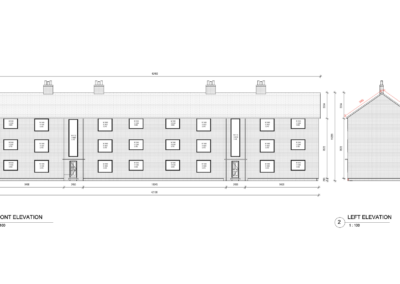
- Post-flight, the data underwent rigorous processing, culminating in the conversion of outputs into AutoCAD drawings for each of the 129 buildings. This ensured seamless access to accurate dimensional data, empowering our client with comprehensive insights.
Project Deliverables
-
3D Digital model of each roof
-
4 x 3D Digital model of blocks
-
129 AutoCAD roof drawings
- 4 Revit Models
Recent Projects
Museum digitisation
Warwickshire County Council faced the challenge of modernising the management of Warwick’s iconic Market Hall Museum, a 17th-century landmark, while...
The Grand Union Canal Transfer
The Challenge Affinity Water tasked us with creating a compelling video to showcase their ambitious plan to transport water from the Midlands to the...
Ellesmere College – Roof inspection
The ChallengeIn January 2024, following the powerful Storm Isha, Ellesmere College required a rapid and accurate inspection of their extensive...



 Owen Jenkins
 Danny Mckeown